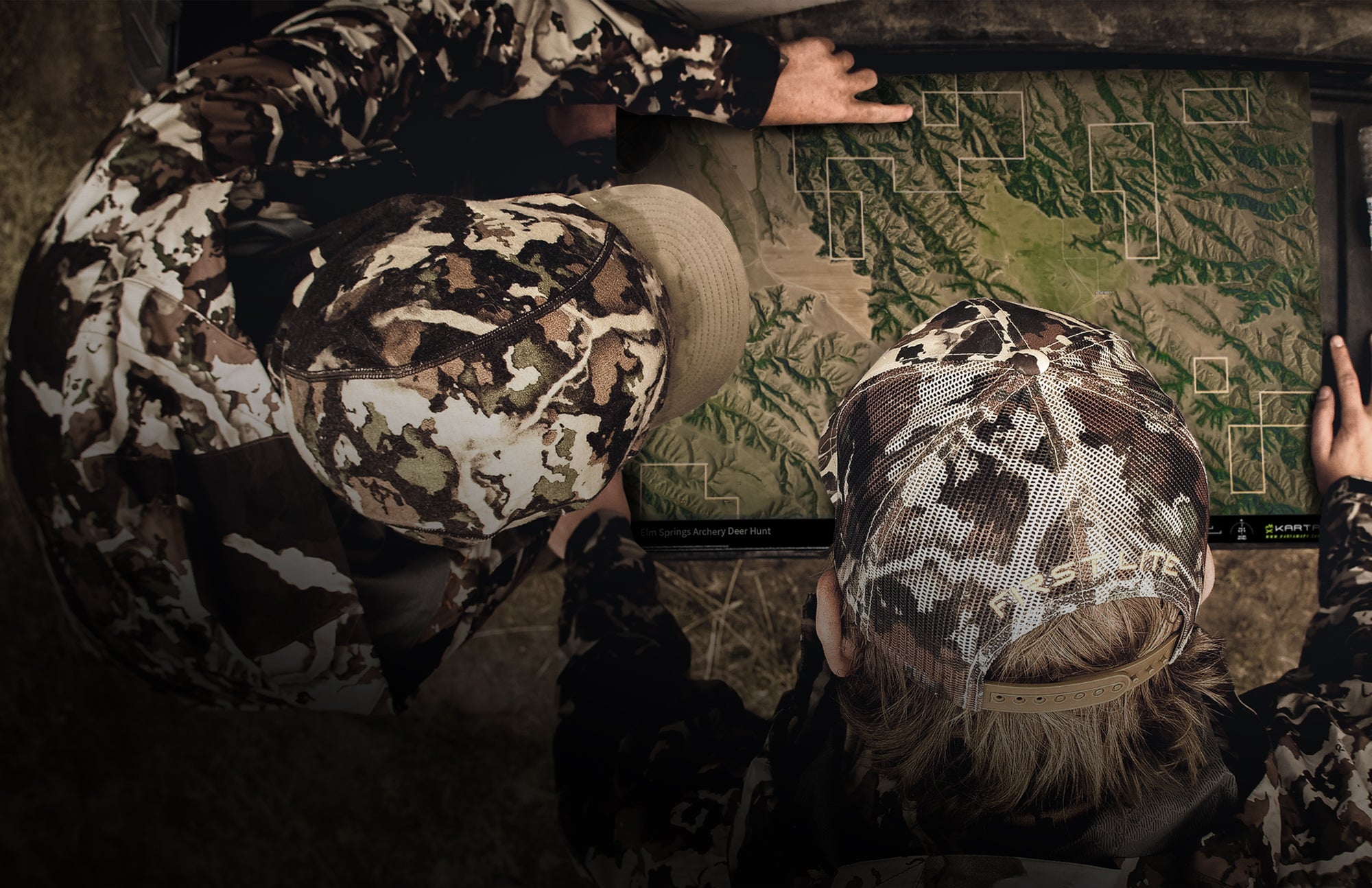
MAPS ELEVATED

WE'VE REINVENTED PRINTED MAPS
 

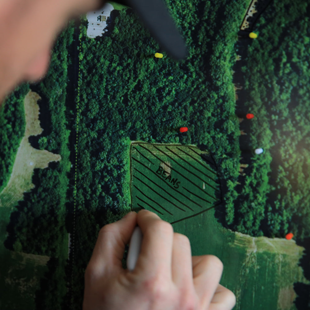
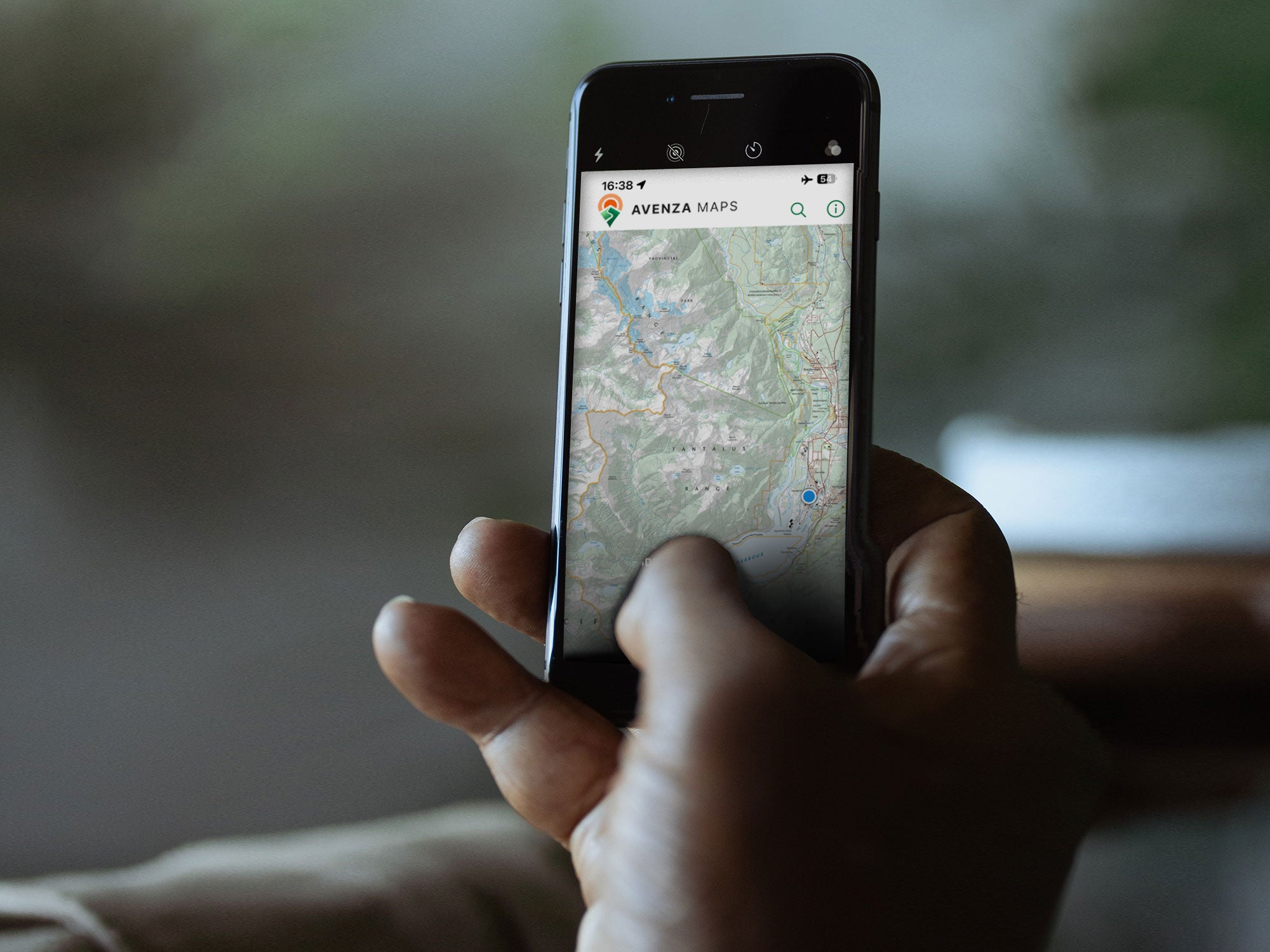
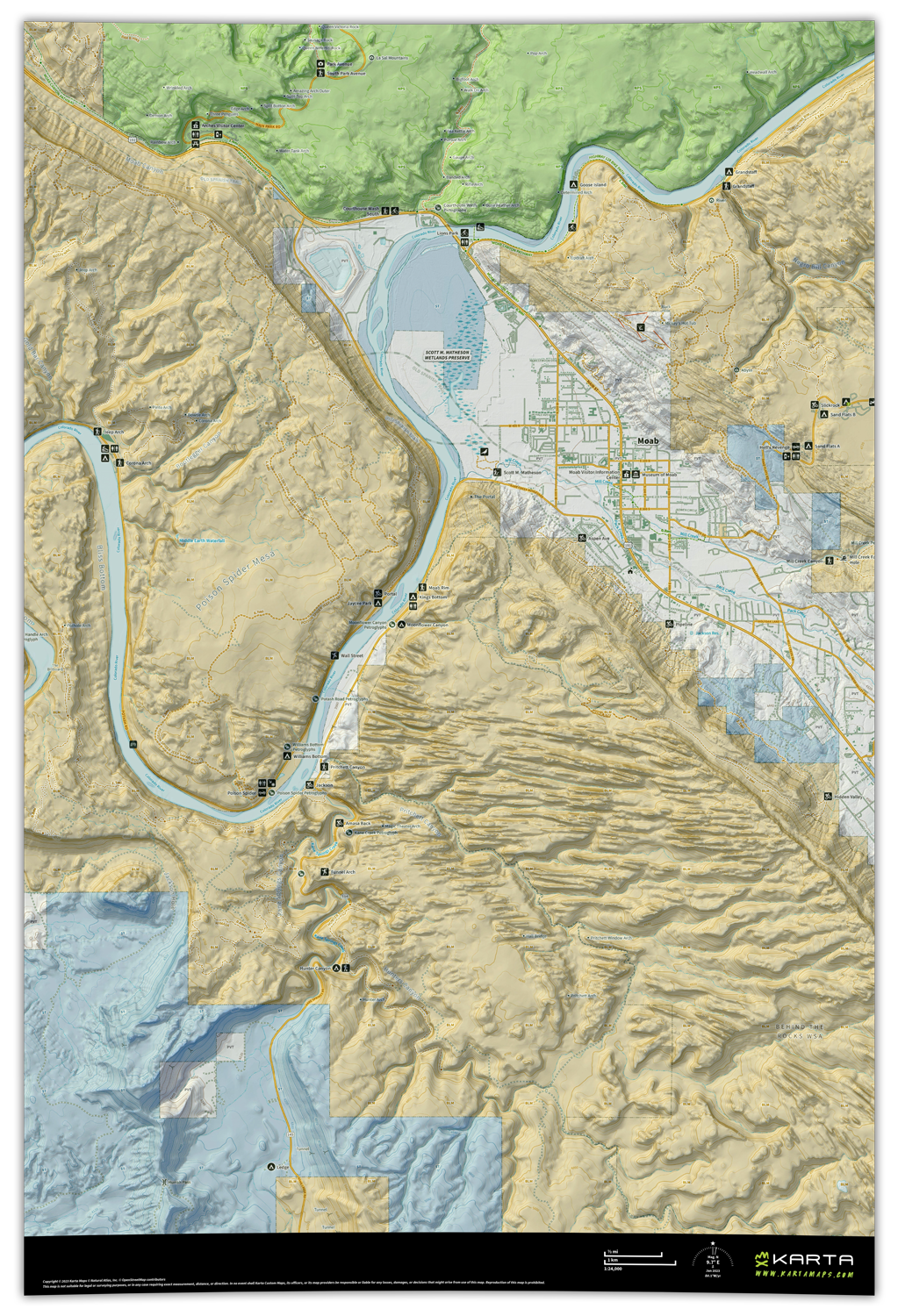
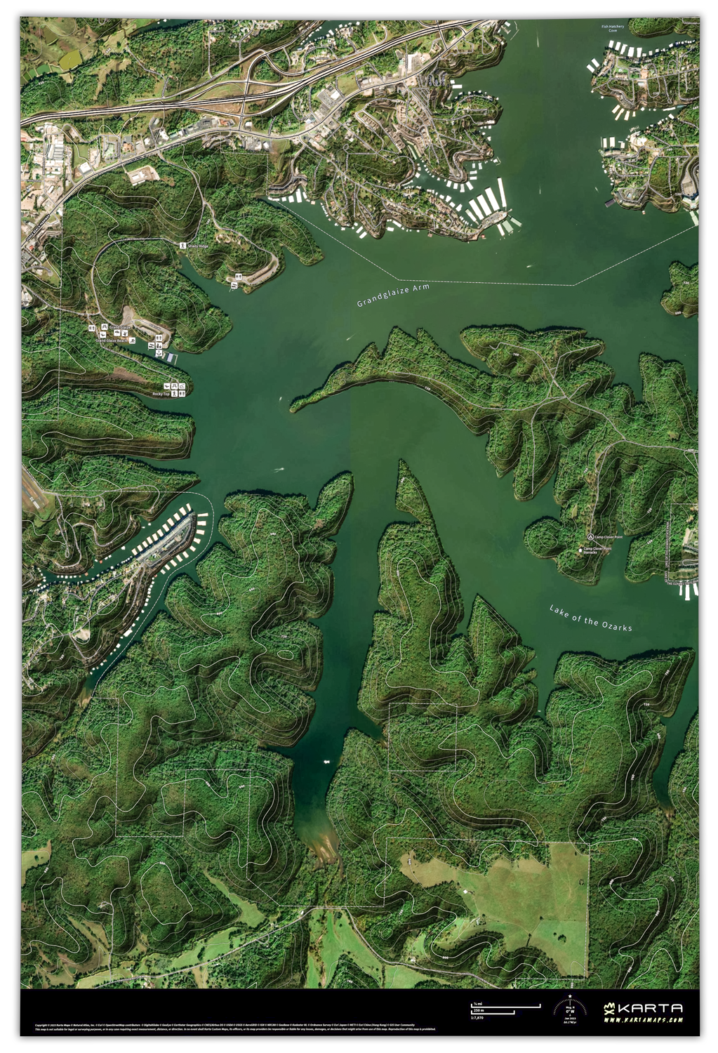
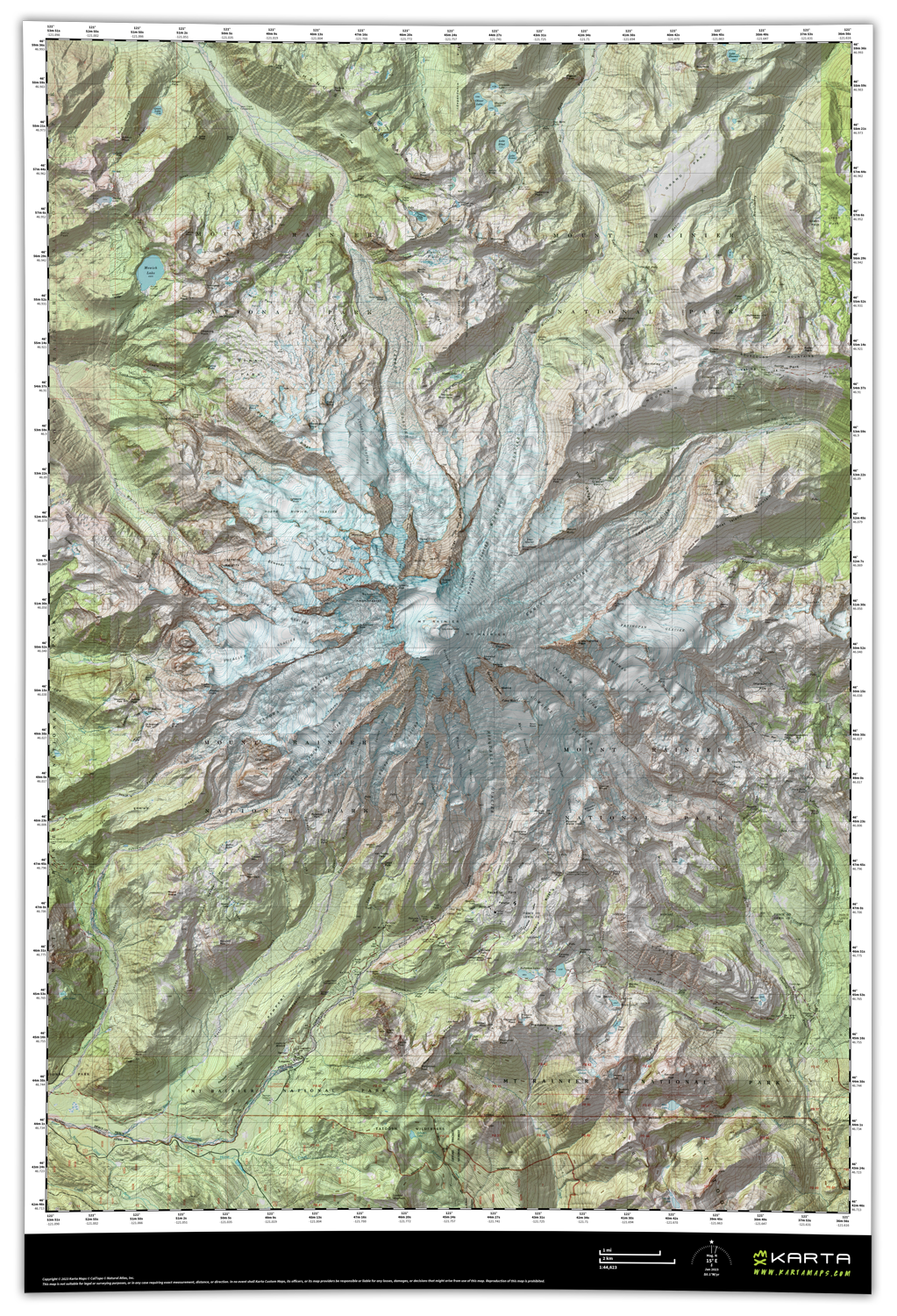
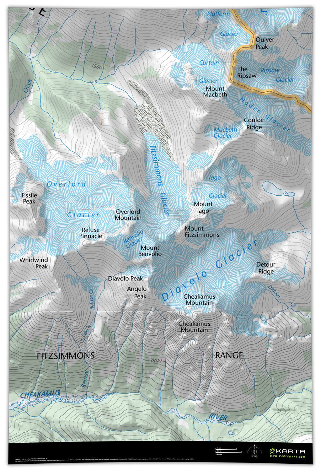
Our free to use, do-it-yourself map builder™️ is unlike anything out there and puts you in control of designing a map totally unique to your needs. Create your customized map using our extensive library of basemaps and feature overlays on our map builder and see a free PDF proof immediately. Once you've created your perfect map we’ll print it to your exact specifications on the material of your choice and deliver to your door and device. You design and proof your map in minutes, we print and ship to your door or device ... it's really that simple.


Or visit our Map Shop to find premade maps


MAPS WITH PURPOSE

INNOVATIVE PRINT MATERIALS
 

Getting a map unique to your needs isn’t only about whats on the map. Choosing your own finish material allows it to be more functional for your exact purpose. We've tested hundreds of materials and chosen the ones that provide the perfect balance of function and quality. And now, our All-Purpose, Outdoor and Magnetic maps can ALL be marked up and wiped off with wet erase chalk markers!


Explore Materials

Or visit our Map Builder to start mapping


MAPS WITHOUT BORDERS

MORE BASEMAP STYLES
 

We know not every user is looking for the same style of map. Why buy a map that is outdated, has fixed extents, is too zoomed out to see the details, or forces you into a single basemap style? You shouldn't ... that's why we provide most extensive library of diverse and modern basemap styles and options on the most feature rich map builder™️ ever created. And with Karta, every basemap is tiled together so you can set your own map bounds, at whatever scale you choose.


Explore Basemaps

Or visit our Map Builder to start mapping

ATLAS

An exclusive, detailed, modern basemap with topography, public lands + a whole lot more.

Explore

FOREST

A collection of satellite + aerial imagery options with topo + public lands overlays.

Explore

CLASSIC

The classic USGS & USFS maps you grew up with ... now tiled together into one.

Explore

INTERNATIONAL

Coverage for Canada, New Zealand, Norway, Sweden, Iceland, Switzerland & Spain.

Explore

Design Your Map

You create your own map + choose your print features using our free one-of-a-kind map builder.

± 3 Minutes

Review Your Proof

Generate + review your proof immediately, adjust for free if needed + submit your map order.

± 3 Minutes

We Print + Ship

You’re done! We print your maps in house, check for quality, and ship anywhere in the world!

± 3 Days

Hunting Unit Maps

HUNTING UNIT MAPS

National Park Maps

NATIONAL PARK MAPS