

ULM Day - Map Package
Be prepared for a successful ULM Day consultation with Tony Lapratt through Karta's exclusive and approved map package.
This map package does not include any of Tony’s services and is purely for maps required on his ULM Consultation day at your property. If you have not yet paid for or scheduled an Ultimate Land Management Consultation please do so by contacting Tony at 517.238.4566 before ordering this map package.
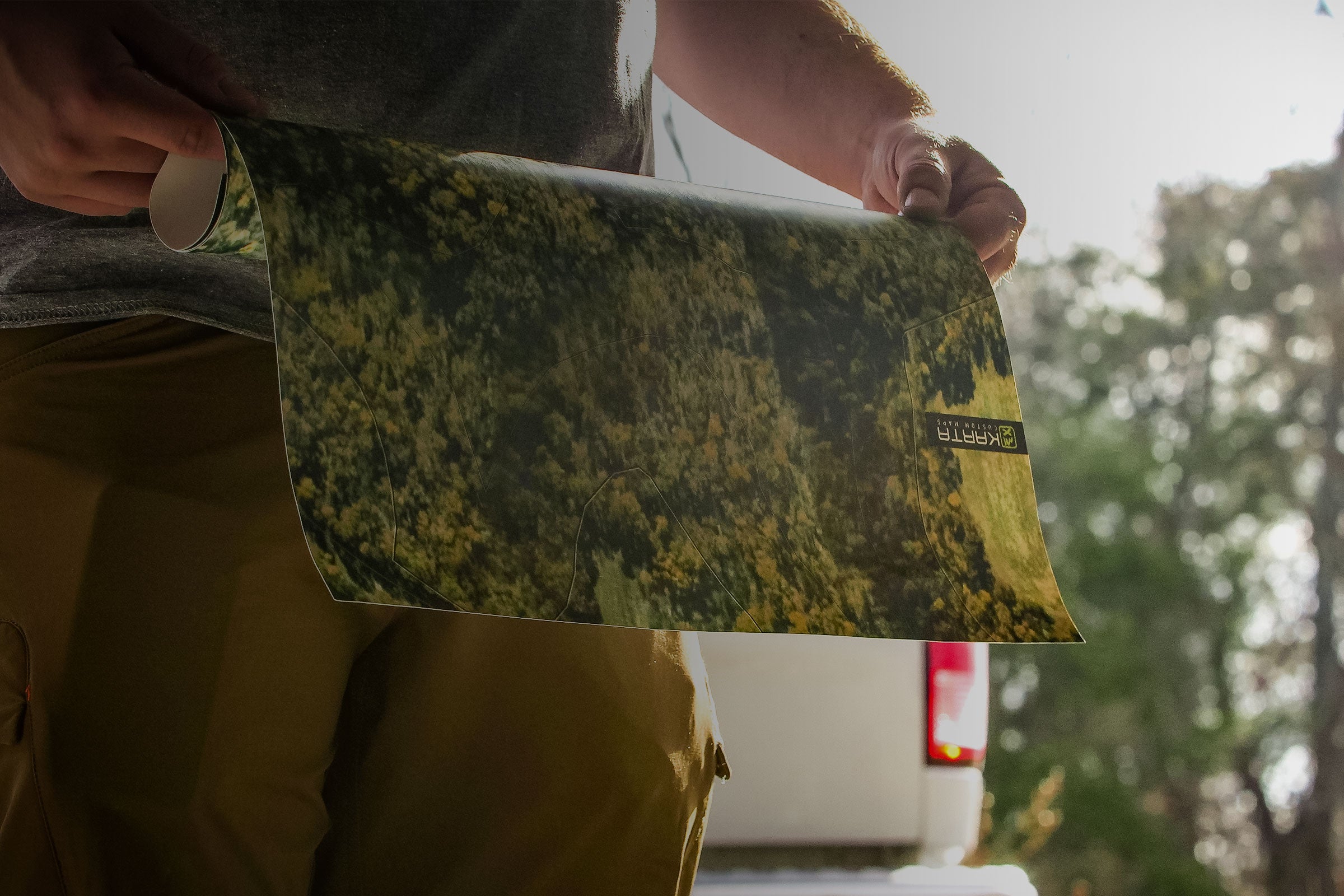
If you have purchased and scheduled your ULM Day with Tony please fill out the form and get started. After you submit your map order, we build a custom set of maps to Tony’s specifications complete with satellite photo, topography, and your property boundary and send it to you for review. Once approved, we print and ship 2 large copies and 2 small copies to you for your ULM day. During your ULM Day, Tony uses this map to mark up with his recommendations.
If you can provide us with a file or screenshot (onX, plat, etc.) please email it us at maps@kartamaps.com after you make your order. Please reference your name and order #.
ULM Day - Map Package
If you have any questions, you are always welcome to contact us. We'll get back to you as soon as possible, within 24 hours on weekdays.
-
Shipping Information
Use this text to answer questions in as much detail as possible for your customers.
-
Customer Support
Use this text to answer questions in as much detail as possible for your customers.
-
FAQ’s
Use this text to answer questions in as much detail as possible for your customers.
-
Contact Us
Use this text to answer questions in as much detail as possible for your customers.
Frequently Asked Questions
Do I get Tony's recommendations for my property with this map package?
NO, This map package does not include any of Tony’s consultation services or recommendations. This map package is only to be ordered AFTER you have scheduled your Ultimate Land Management Consultation with Tony. Please contact Tony at 517.238.4566 if you need to schedule Tony’s services.
If you have purchased Tony’s Ultimate Land Management day consultation with him directly, these maps will show his recommendations for your property after he has visited the property.
Are your maps printed to Tony's specifications?
YES! We've teamed with Tony to provide your maps to his EXACT liking. The sizes requested in his documenation are only guidelines if you bring your own map. Our ULM Ultimap package gives Tony the tools he needs to provide the most effective recommendations for your land.
What exactly do I get in the map package?
1 Full Color Existing Conditions Map 20"x30"in size
1 Faded Color Existing Conditions Map 20"x30" in size (For Tony's Markup)
2 Full Color Existing Conditions Field Maps 10"x15"in size
Will I get a proof of my map before it is printed?
YES! If your map has been ordered more than 2 weeks in advance of your ULM day we will send you a proof via email. Typically this will occur 1-2 weeks after your order is made. If your ULM day is less than 2 weeks away we cannot guarantee that we will have time to send a proof and wait for response. Further, failure to respond to our email approving your proof may require us to send it without your approval.
Can I get maps for 2 disconnected properties and only pay for 1 map package?
NO, if you have 2 properties that Tony is visit we have to produce two sets of maps and research ownership in two locations. If you have 2 locations that Tony is visiting please let us know and we can get you a discount for the second property.
Will the satellite image that appears on the map be within the last year?
Most likely not. The imagery we license is constantly being updated when new satellite or aerial image are taken. Typically, most areas are within the past two years. We have no control over the schedules of satellite and aerial image providers. Further, Google does not license their imagery, so even though you might see a recent change on 'Google Maps' or 'Google Earth' does not mean we will have it.
Satellite Imagery
Our Satellite layer utilizes 0.5m resolution imagery in the continental United States and parts of Western Europe from DigitalGlobe. The update schedule for any given location is random, so imagery dates may vary but is usally the newest and highest resolution.
Aerial Imagery
Our Aerial imagery is is usually updated every 3-4 years for each state. Acquired from the National Agriculture Imagery Program (NAIP), this layer features high-resolution (1m or better) aerial imagery for the continental United States, made available by the USDA Farm Services Agency. Once updated by NAIP, it is integrated into our Forest Series maps immediately.
Google Imagery?
Unfortunately, Google does not license their imagery for purposes such as this. As such, we don't access our imagery from Google Earth, Google Maps or any other mobile platform you might use or see. Fortunately, we've sourced two other high quality aerial imagery variations to utilize.
What if there is no physical address for my Property?
If no physical address please provide an approximate description of the location (e.g. 2 miles west of X Town at intersection of county rd. X and county rd. Y) or closest known address (e.g. neighbor to south). Please note if address is not for the property and provide description.
Can I get changes to my map after it has been printed.
No, once maps are printed the order is complete and no changes can be made within the same order. If you would like a new map please contact us and we can get you discounted reprints.